Southwest Florida Habitat Suitability Analysis Model
Authors
Debbie Irvine, Frank Mazzotti, Leonard Pearlstine, Tomma Barnes
Habitat Suitability Index
Habitat Suitability Index (HSI) is used as a form of policy-screening or forecasting of research data for stressor response models. The indices used here are a monthly weighted geometric mean of the environmental variables, which may be different for each species. The yearly index is calculated as the average (arithmetic mean) of the monthly indices. Suitability habitat is aggregated for purposes of reporting into 5 classes as not habitable, poor, good, better and best.
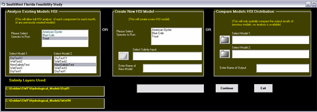
There are three options available for the user:
- Create a new model by selecting a salinity model as input. This information is stored as a unique name in a database to prevent duplication of processing.
- Compare two previously run models to each other
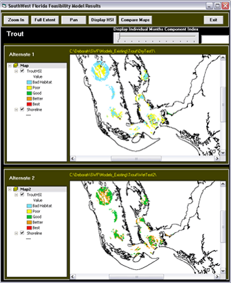
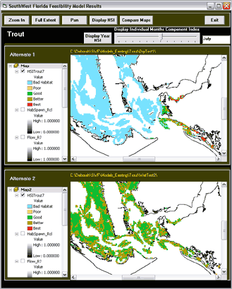
- A spatially visual display of 2 previously run models
(only 1 & 2 allow the user to analyze individual month component index values and year HSI values)
(all 3 allow user to do visual map comparisons, create maps for print and reports.)
Note: click images for larger version
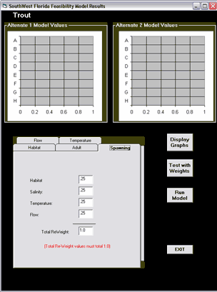
Click on point of map displays each months HSI values on graph.
Individual month's components index is displayed on graph.
Data layers utilized in this model analysis were:
- Water Depth
- Seagrass/Substrate
- Flow (number of extreme occurrences per month)
- Salinity
- Water Temperature
Reclassification Criteria
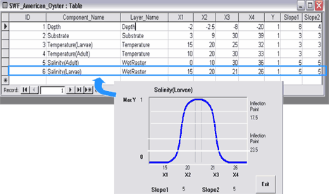
Database tables contain the reclassification values for each component.
Reclassification of Layers
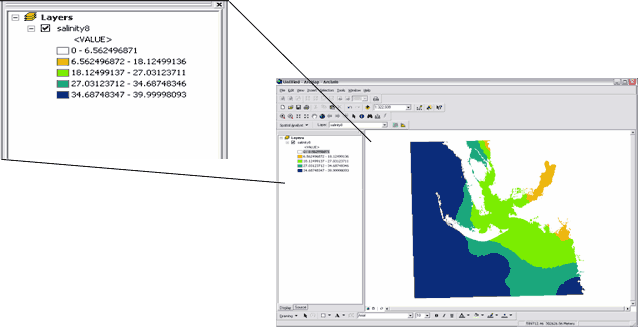
Reclassifying Layers
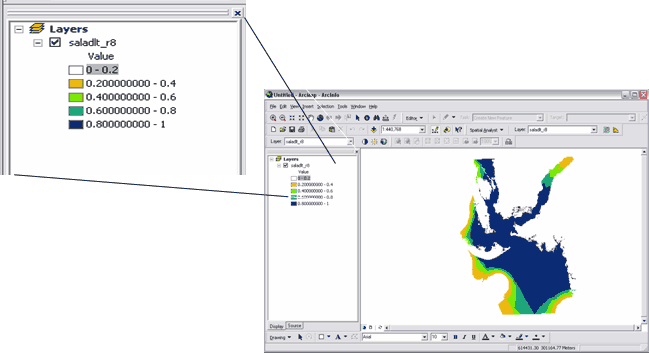
Every month of each component is reclassified into 5 categories, from "Bad Habitat" to "Best"
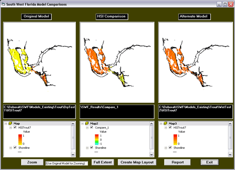
Compare Maps
Compare Maps displays differences between both alternatives
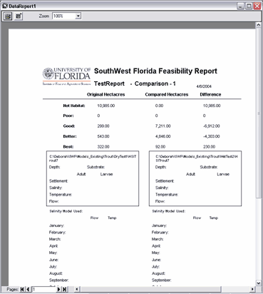
Report sample:
When creating a new model, the user has the option to put a weight on any or all components to re-adjust relevance. This creates a "re-weighted" output which is stored for future analysis in the database table of completed models.
Acknowledgements
This project was funded by the U.S.Geological Survey through an arrangement with the U.S. Corps of Engineers and South Florida Water Management District as part of the Critical Ecosystems Studies Unit.
Citation
Irvine, D., F.J. Mazzotti, L. Pearlstine and T. Barnes. (2004, April). Southwest Florida Habitat Suitability Analysis Model. Poster presented at the Florida ESRI Users Conference.
